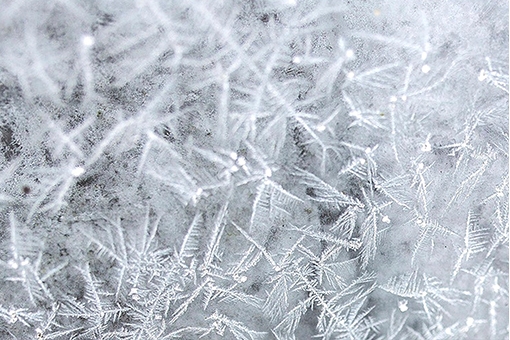
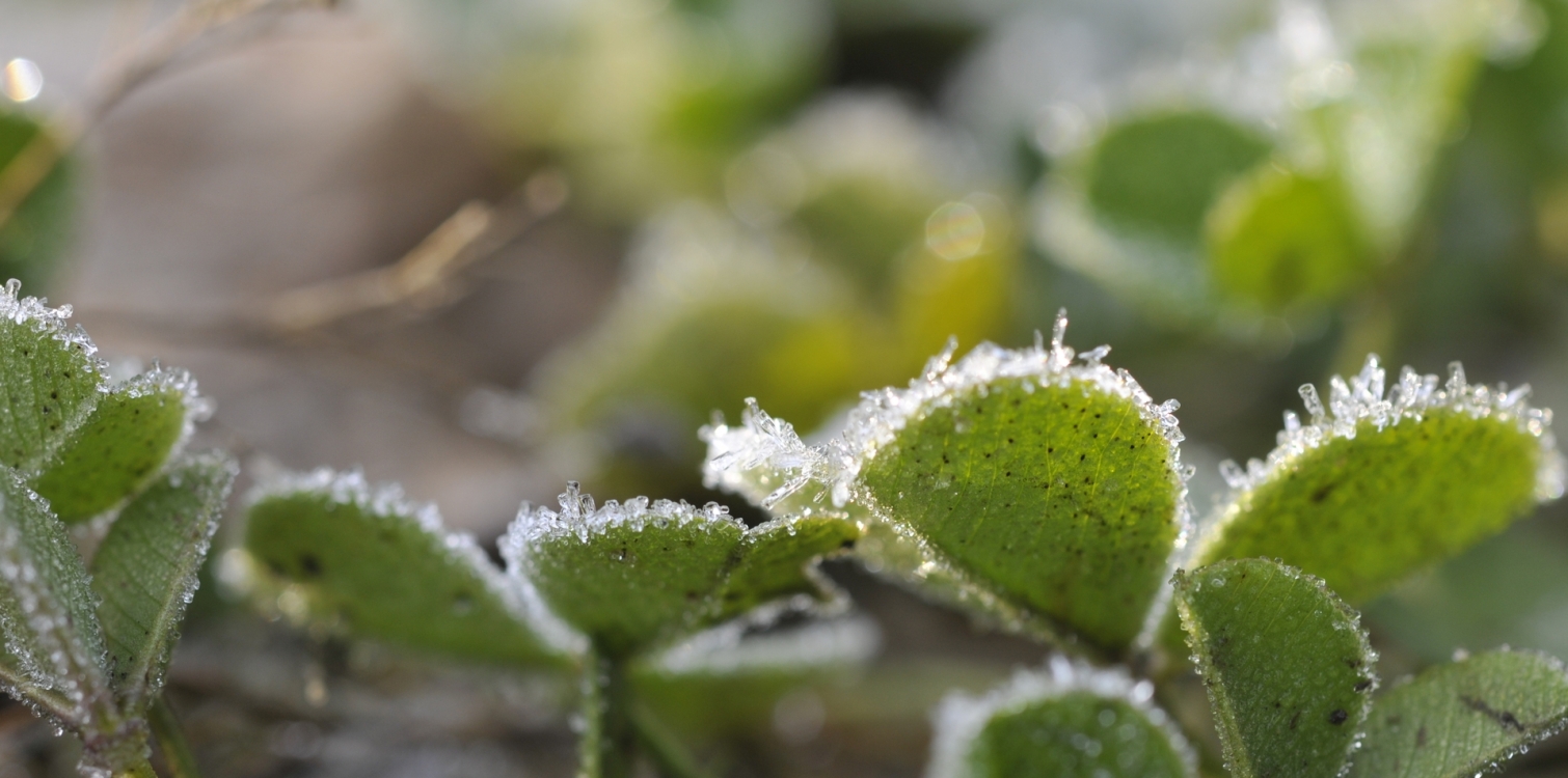
Besides snow, there are other types of precipitation typical for winter. Do you know them? Of course, the most well-known phenomenon is hoar frost (ivje), but even before it, we are first greeted by the frost (slana) on late autumn mornings.
When cold air cannot hold as much moisture as warmer air, the excess water vapor begins to condense on objects and grass in the form of tiny water droplets. The temperature at which this occurs is called the dew point, and the phenomenon is called DEW.
If air saturated with moisture has a temperature below freezing, water vapor transitions directly from a gaseous to a solid state. In this case, tiny ice crystals form on objects and grass, and this is called FROST. Frost is a type of solid precipitation.
Instead of snow, we are often greeted by HOAR FROST in winter. Hoarfrost is also a type of solid precipitation.

The difference between hoarfrost and frost is that frost forms during the cold hours, most often at night and in the morning, under clear weather; whereas hoarfrost forms during cloudy, foggy, and cold weather both during the day and night.
When the layer of frozen water is thicker, it is no longer called hoarfrost, but sleet.
SLEET is a weather phenomenon that occurs when there is very cold air at the ground level, but above it, warm air is brought by the wind at higher altitudes. Raindrops fall from the warm air into the cold air and quickly cool down to below 0°C. When they reach frozen ground or cold objects, they immediately freeze.

DO YOU KNOW?
- A phenomenon very similar to frost is ice flowers on glass surfaces, except that the ice crystals form higher above the ground. Before central heating and double-glazed windows became common, ice flowers were a frequent occurrence during the cold part of the year.
Thank you.

